Services
Technical Survey Services for Complex Projects
.jpg)
Survey data is only helpful if it holds up over distance, time, and multiple project phases. Our work prioritises robust control, repeatable methodology, and clearly defined accuracy so downstream design and construction decisions can be made with confidence.
No two projects have the same spatial constraints.
We select survey methods and coordinate frameworks that suit the scale, environment, and lifecycle of the work — avoiding unnecessary complexity while maintaining technical rigour.
Survey outputs must integrate cleanly with design software, mine planning systems, and construction workflows. We deliver data in formats and reference systems that reduce rework, minimise interpretation errors, and support efficient downstream use.
Spatial errors propagate.
We focus on identifying, managing, and documenting survey risk so assumptions are clear, results are traceable, and data remains defensible during technical review or audit.
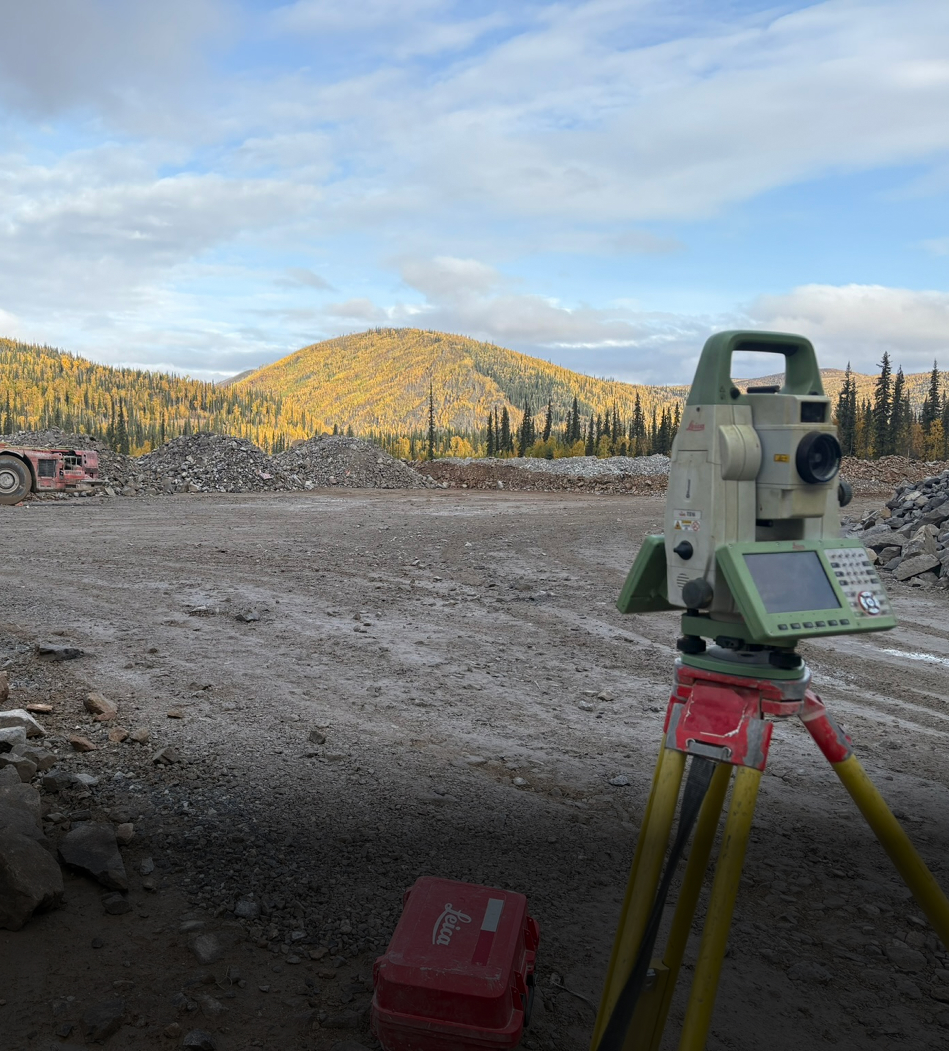
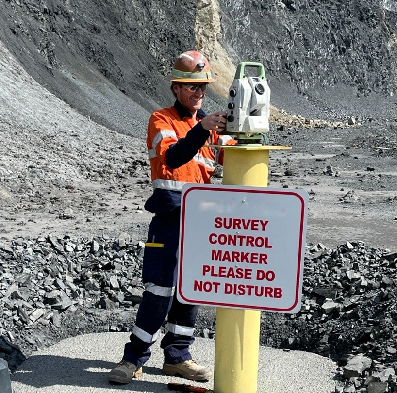
Mine Surveying
Primary, high-confidence survey control networks, development and production surveying, infrastructure build-out, and practical field support for open pit, underground, and exploration projects.
Mining projects often operate over decades, with survey control evolving through multiple expansions, contractors, and technology changes. Poor early decisions can quietly introduce spatial risk that compounds over time. We help clients design, validate, and maintain robust spatial frameworks that support the full life of the mine — providing a reliable foundation for planning, construction, production, reconciliation, and the long-term digitisation
of all spatial data.
.jpg)
Engineering Surveying
Set-out, verification, and spatial control for civil, commercial, and light-to-medium infrastructure projects. We support earthworks, roadworks, tunnelling, and building construction with precise positional data that allows contractors and engineers to build with confidence.
Our focus is on practical survey solutions that suit the scale and complexity of each project. By establishing reliable control, applying appropriate tolerances, and providing clear QA documentation, we help teams avoid rework, resolve issues early, and keep construction aligned with design.
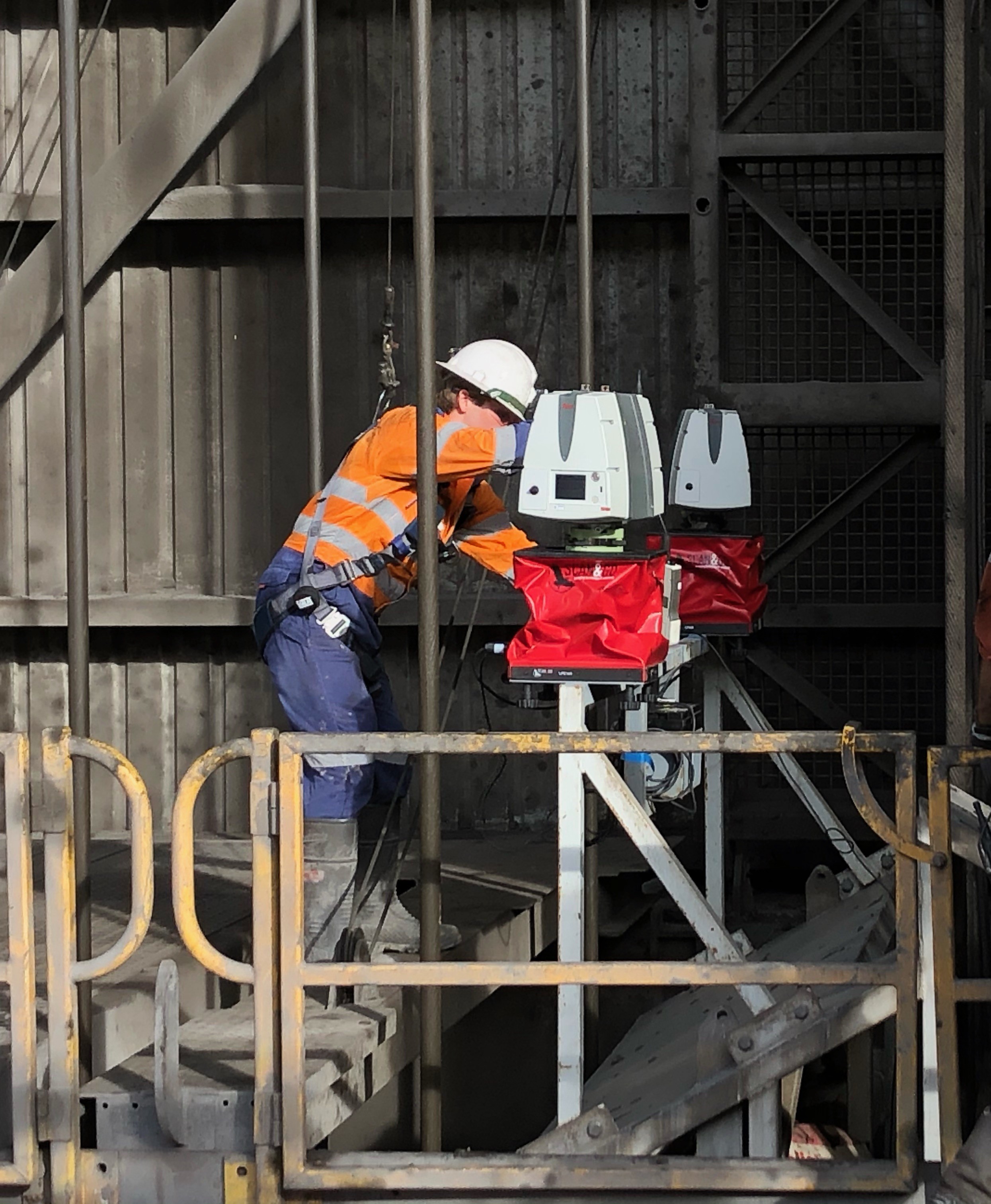
Laser Scanning
High-resolution 3D capture using terrestrial, LiDAR, borehole, and drone-based scanning systems for mining, civil, and industrial environments. Applications range from stockpile measurement and as-built documentation to deformation analysis, monitoring, and complex geometry capture.
Our focus extends well beyond data collection. We design scanning campaigns around the required accuracy, tolerances, and intended use — delivering fit-for-purpose outputs that are spatially reliable and provided in formats that integrate seamlessly with engineering, planning, and asset-management systems. The result is actionable spatial information, not just large volumes of unprocessed data.
High-resolution 3D capture using terrestrial, borehole, and drone-based scanning workflows. We generate precise point clouds for volumetrics, deformation, as-built documentation, clash detection, and complex geometry extraction — giving project teams clear, defensible data they can trust.
.jpg)
Monitoring
Precision monitoring for ground movement, structural deformation, and geotechnical change across mining and civil environments. We deploy practical, high-accuracy solutions — from survey-based campaigns to continuous sensor systems — to deliver actionable data that supports safety, compliance, and operational decision-making.
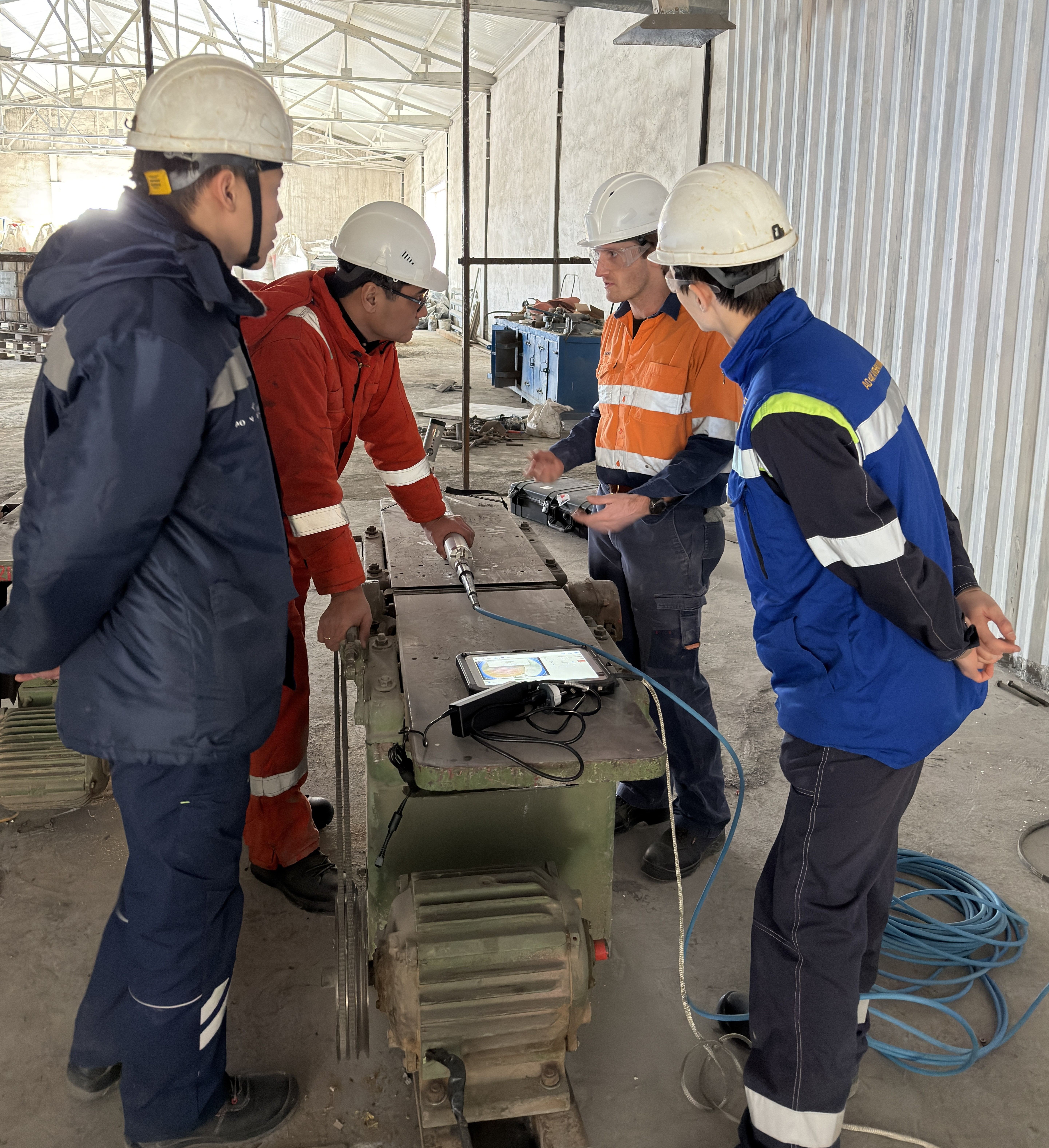
Training & Technical Support
Practical, targeted training for survey teams and project personnel, covering GNSS, laser scanning, survey control, QA workflows, and specialist software such as Move3, Deswik, and TBC. We also provide technical troubleshooting, network validation, and independent reviews to strengthen capability and improve long-term survey performance.