About us
.svg)
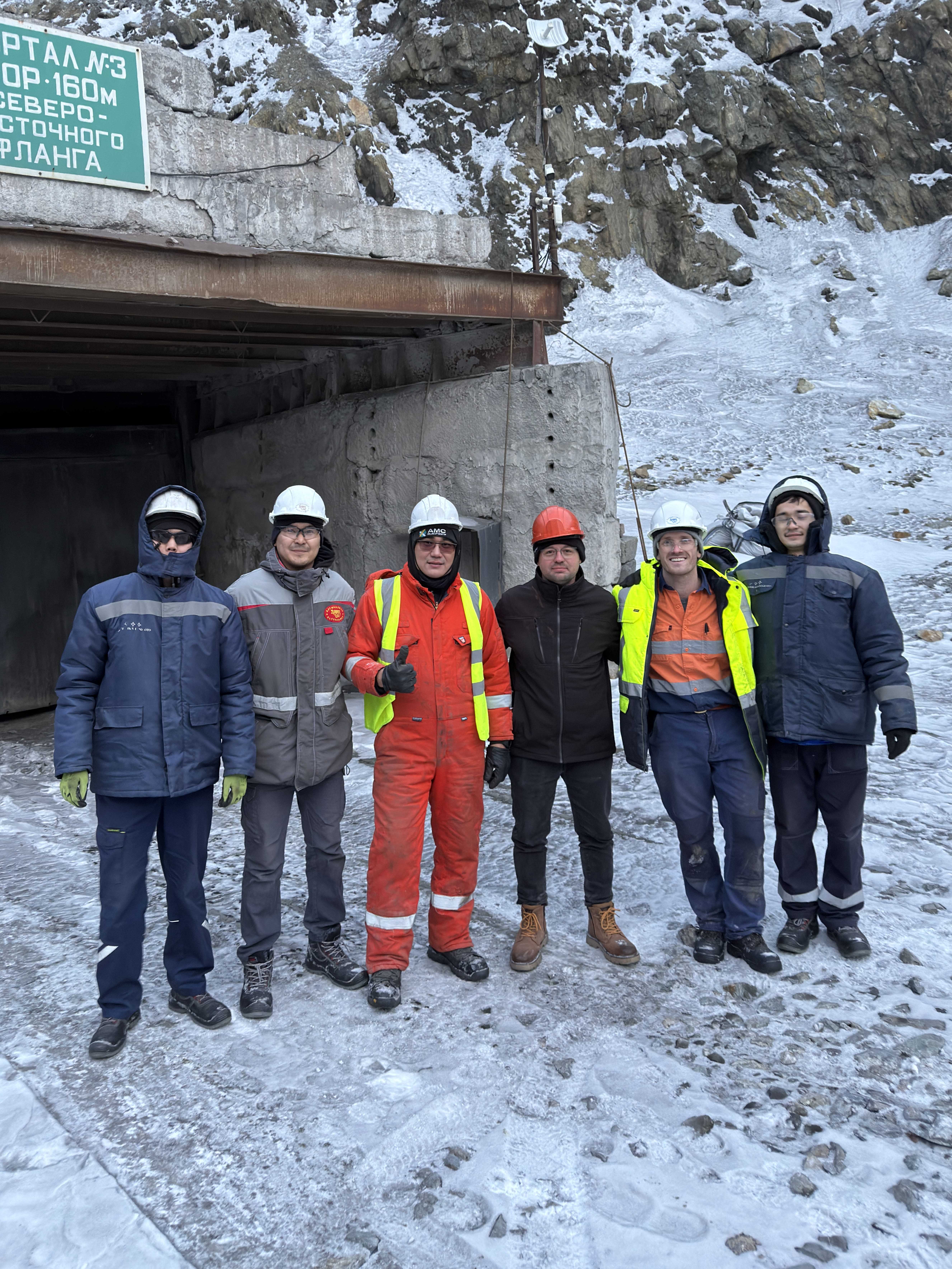
Spatial services for open pit, underground, and exploration projects, supporting safe development and reliable mine planning.
.svg)
Earthworks, roadworks, and commercial site development supported through precise set-out, validation, and as-built measurement
.svg)
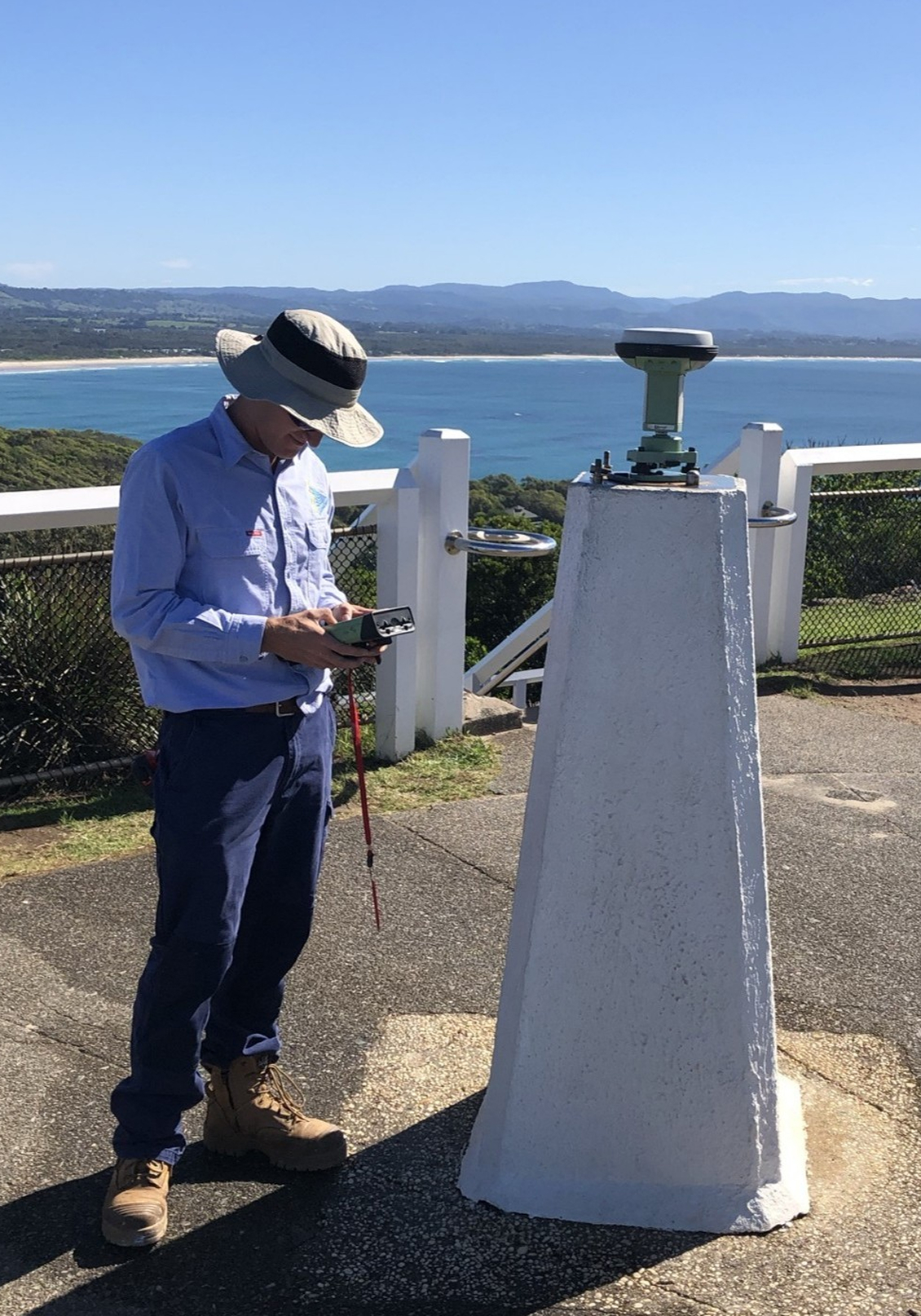
Independent check surveys, control network validation, and troubleshooting for complex or high-risk spatial environments.

We support project teams across Canada with specialist expertise in mine surveying, laser scanning, geodetic control, and spatial data integration — providing survey outcomes that are not only precise but also reliable throughout the full life of a project.
We focus on survey frameworks that hold over distance and time — supporting mine planning, construction set-out, safety and operational decision-making without downstream rework.
Robust coordinate systems and geodetic methodology that ensure all survey data aligns correctly. Our approach delivers traceable, auditable spatial data you can rely on across contractors, software platforms, and project phases.
Locarno Spatial provides services to clients across Canada, working remotely or on-site as required. Engagements are structured to suit project needs — from short-term specialist support to longer-term technical involvement.