Professional Survey Solutions Scan. Survey. Solve
Our work reduces spatial risk, supports critical design and construction decisions, and ensures survey data remains consistent throughout the life of the project.
We focus on survey frameworks that hold over distance and time — supporting mine planning, construction set-out, safety and operational decision-making without downstream rework.
Robust coordinate systems and geodetic methodology that ensure all survey data aligns correctly. Our approach delivers traceable, auditable spatial data you can rely on across contractors, software platforms, and project phases.

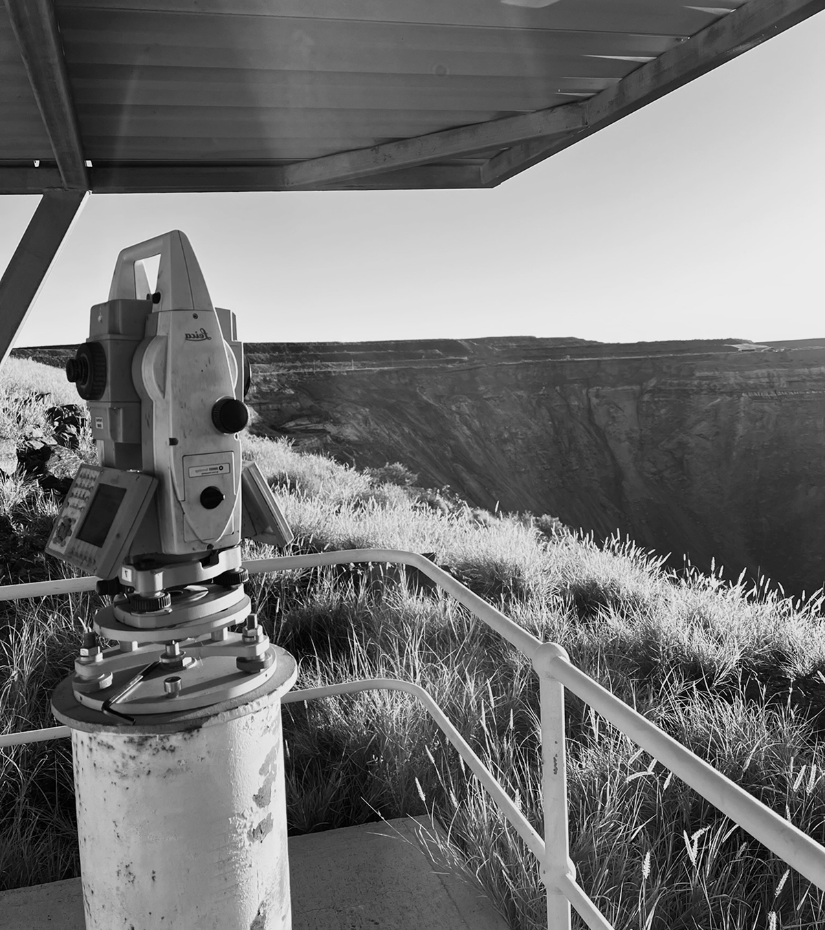
Spatial services for open pit, underground, and exploration projects, supporting safe development and reliable mine planning.

Earthworks, roadworks, and commercial site development supported through precise set-out, validation, and as-built measurement

Independent check surveys, control network validation, and troubleshooting for complex or high-risk spatial environments.
.webp)

.webp)
Our services
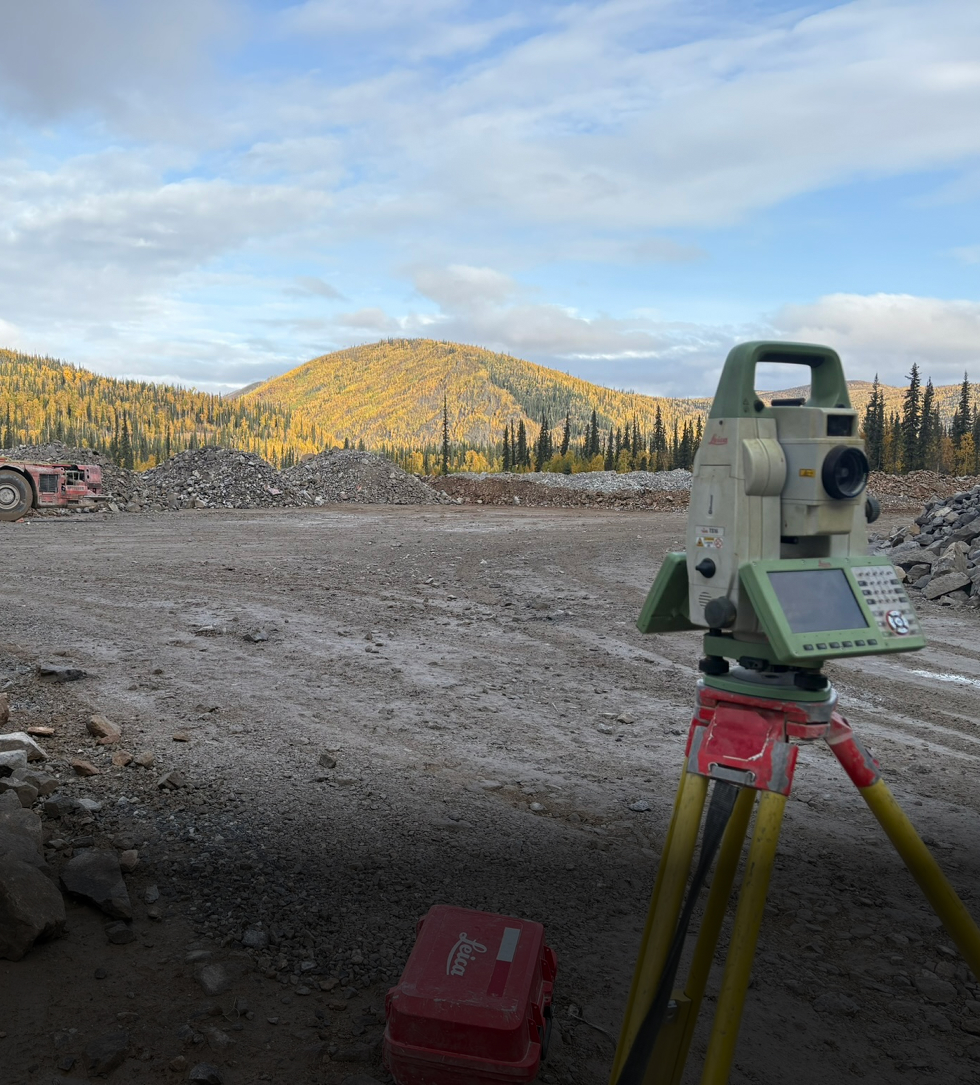
Primary, high-confidence survey control networks, development and production surveying, infrastructure build-out, and practical field support for open pit, underground, and exploration projects.
%20(1).webp)
Set-out, verification, and spatial control for civil, commercial, and light-to-medium infrastructure projects. We support earthworks, roadworks, tunnelling, and building construction with precise positional data that allows contractors and engineers to build with confidence....
.jpg)
High-resolution 3D capture using terrestrial, LiDAR, borehole, and drone-based scanning systems for mining, civil, and industrial environments. Applications range from stockpile measurement and as-built documentation to deformation analysis, monitoring, and complex geometry capture.....
.jpg)
Precision monitoring for ground movement, structural deformation, and geotechnical change across mining and civil environments. We deploy practical, high-accuracy solutions — from survey-based campaigns to continuous sensor systems — to deliver actionable data that supports safety, compliance, and operational decision-making.
.jpg)
Practical, targeted training for survey teams and project personnel, covering GNSS, laser scanning, survey control, QA workflows, and specialist software such as Move3, Deswik, and TBC. We also provide technical troubleshooting, network validation, and independent reviews to strengthen capability and improve long-term survey performance.
Primary, high-confidence survey control networks, development and production surveying, infrastructure build-out, and practical field support for open pit, underground, and exploration projects.
Set-out, verification, and spatial control for civil, commercial, and light-to-medium infrastructure projects. We support earthworks, roadworks, tunnelling, and building construction with precise positional data that allows contractors and engineers to build with confidence....
High-resolution 3D capture using terrestrial, LiDAR, borehole, and drone-based scanning systems for mining, civil, and industrial environments. Applications range from stockpile measurement and as-built documentation to deformation analysis, monitoring, and complex geometry capture.....
Precision monitoring for ground movement, structural deformation, and geotechnical change across mining and civil environments. We deploy practical, high-accuracy solutions — from survey-based campaigns to continuous sensor systems — to deliver actionable data that supports safety, compliance, and operational decision-making.
Practical, targeted training for survey teams and project personnel, covering GNSS, laser scanning, survey control, QA workflows, and specialist software such as Move3, Deswik, and TBC. We also provide technical troubleshooting, network validation, and independent reviews to strengthen capability and improve long-term survey performance.

.svg)