Why “Accurate Enough” Is Often Wrong in Surveying
In surveying, the phrase “accurate enough” gets used far too casually. On paper, it sounds reasonable. In practice, it’s often where long-term problems begin.
Across mining, civil infrastructure, and industrial projects, we repeatedly see decisions made on data that technically meets a specification—often justified by tight resection residuals—but fails at a broader, absolute level. The result isn’t immediate failure. It’s a gradual, often imperceptible distortion and misalignment between systems or project areas. When left unaccounted for, this leads to rework and, eventually, a loss of confidence in the spatial data itself.
Leave a spatial legacy for decades to come.


Survey accuracy doesn’t exist in isolation. A coordinate can be “within tolerance” and still be wrong for the task it’s being used for.
Key questions are often skipped:
- What reference frame is this data truly tied to?
- How does error propagate through the network over time?
- Is this dataset compatible with historical control and future expansion?
- Was the workflow designed for the end use, or just for capture speed?
Without answering these questions, accuracy becomes a checkbox exercise rather than a design principle.
Where Projects Quietly Go Off the Rails
Most spatial failures aren’t dramatic. They’re subtle.
Common patterns we encounter include:
- Control networks that technically close, but accumulate scale or orientation bias
- Laser scan data that looks impressive but can’t be reliably tied into engineering models
- Multiple coordinate systems coexisting without a clearly defined transformation strategy
- Monitoring data that shows movement, but can’t distinguish real deformation from survey noise
By the time the issue becomes obvious, the cost of fixing it is significantly higher than doing it properly from the start.
Fit-for-Purpose Surveying (What That Actually Means)
“Fit for purpose” is often used as marketing language. In reality, it requires discipline.
A proper fit-for-purpose approach means:
- Designing the survey around decision-making requirements, not equipment capability
- Selecting instruments and methods that match the required confidence over the lifespan of the project
- Explicitly managing reference frames, scale factors, and transformations
- Understanding how today’s data will be reused, extended, or audited years later
This applies equally to mine control, deformation monitoring, as-built surveys, and high-resolution 3D capture.
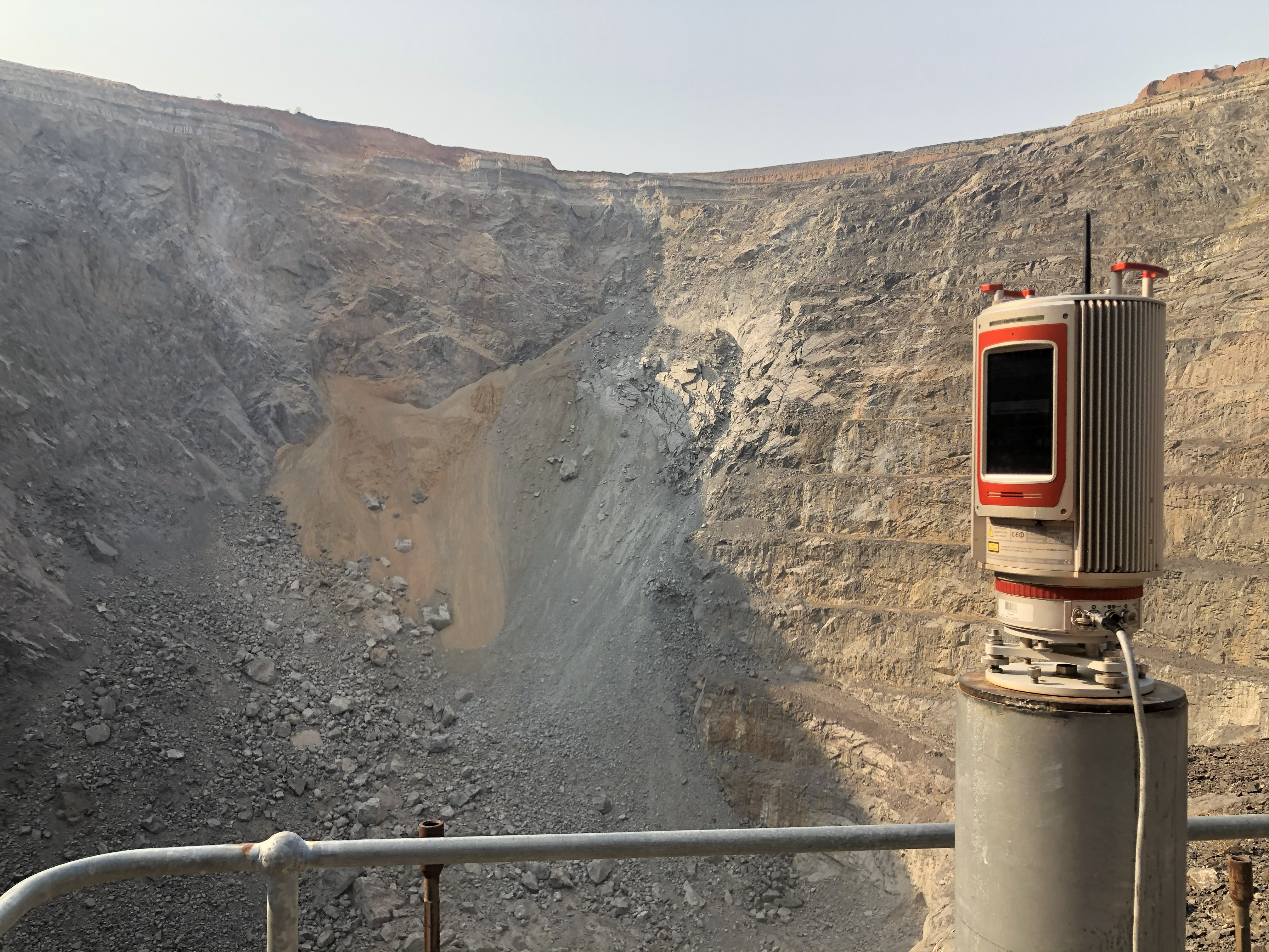
Mining Is Where Bad Surveying Gets Exposed Fast
Mining environments are unforgiving. Long traverses, confined geometry, and incremental expansion amplify small mistakes quickly. A minor control error today becomes a major misalignment several levels down.
That’s why mining has driven some of the most rigorous spatial workflows in the industry—gyro-validated traverses, redundancy-rich networks, least-squares adjustments, and strict control governance. Those principles are increasingly relevant well beyond mining.
The Takeaway
Surveying isn’t about collecting points. It’s about trustworthy spatial information.
If the data:
- Can’t be defended statistically
- Can’t be reconciled with historical datasets
- Can’t be extended without introducing distortion
Then it isn’t accurate enough—no matter what the report says.
This blog series will dig into the practical realities of survey accuracy, reference frames, control design, laser-scanning workflows, and why doing things properly often ends up being faster and cheaper in the long run.